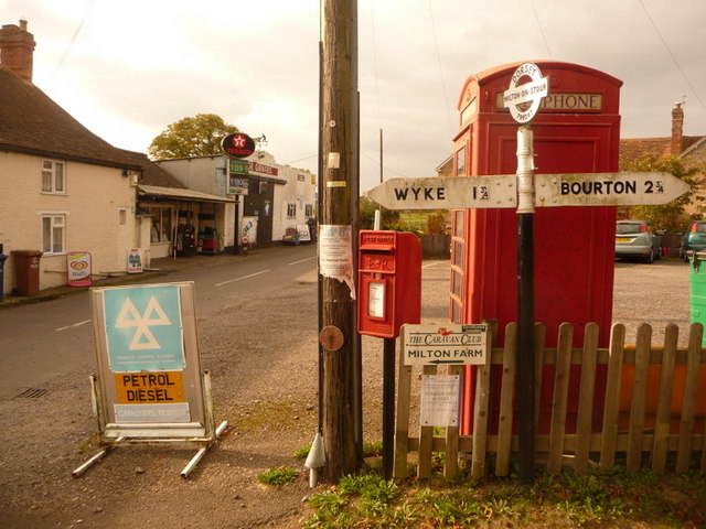
File:Milton on Stour- finger-post, phone box and postbox - Geograph - 1541775.jpg
Jump to navigation
Jump to search

No higher resolution available.
Milton_on_Stour-_finger-post,_phone_box_and_postbox_-_Geograph_-_1541775.jpg (640 × 480 pixels, file size: 83 KB, MIME type: image/jpeg)
| |||||||||||||||||||||||||
|
Galleries | Fingerpost | Pre-Worboys Fingerpost Signs | ||
File history
Click on a date/time to view the file as it appeared at that time.
| Date/Time | Thumbnail | Dimensions | User | Comment | |
|---|---|---|---|---|---|
| current | 01:52, 13 November 2009 | | 640 × 480 (83 KB) | Jeni (talk | contribs) | {{Information |description = Milton on Stour: finger-post, phone box and postbox |day = 18 |month = 10 |year = 2009 |photographer = © Copyright [http://www.geograph.org.uk/profile/14700 Chris Downer] and licensed for reuse under |
File usage
There are no pages that use this file.