File:Modern extension to an old bridge - Geograph - 4593217.jpg
Jump to navigation
Jump to search

No higher resolution available.
Modern_extension_to_an_old_bridge_-_Geograph_-_4593217.jpg (640 × 480 pixels, file size: 89 KB, MIME type: image/jpeg)
| |||||||||||||||||||||||||
|
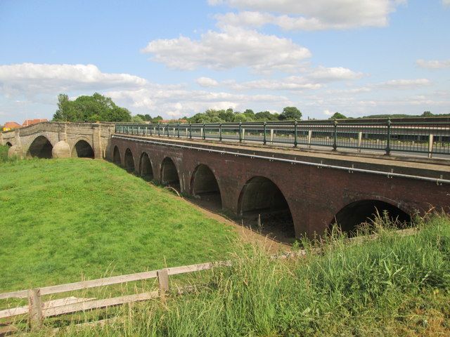
Galleries | A163 | Derwent Bridge (Bubwith) | Pictures from Geograph | ||
File history
Click on a date/time to view the file as it appeared at that time.
| Date/Time | Thumbnail | Dimensions | User | Comment | |
|---|---|---|---|---|---|
| current | 10:49, 7 January 2021 | | 640 × 480 (89 KB) | C2r (talk | contribs) | '''Modern extension to an old bridge''' Built to keep the A163 road open in times of the Derwent flooding, as the main bridge was built in 1793 and is single lane there are traffic lights for the bridge crossing |
File usage
The following 4 pages use this file: