File:Moneybrannon Road - Geograph - 830555.jpg
Jump to navigation
Jump to search

No higher resolution available.
Moneybrannon_Road_-_Geograph_-_830555.jpg (640 × 479 pixels, file size: 68 KB, MIME type: image/jpeg)
| |||||||||||||||||||||||||
|
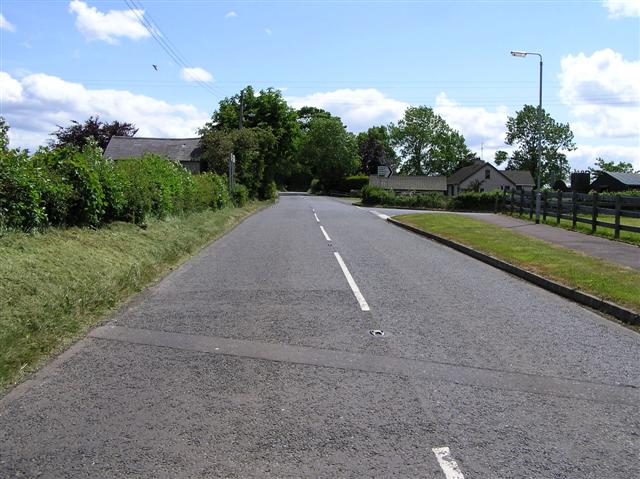
Galleries | B187_(Northern Ireland) | B207_(Northern Ireland) | B66_(Northern Ireland) | S2 | B Roads (Northern Ireland) | ||
File history
Click on a date/time to view the file as it appeared at that time.
| Date/Time | Thumbnail | Dimensions | User | Comment | |
|---|---|---|---|---|---|
| current | 23:09, 26 October 2012 | | 640 × 479 (68 KB) | Bothar (talk | contribs) | B207 (ex B187) Moneybrannon Road |
File usage
The following 5 pages use this file: