File:More infill - Geograph - 832101.jpg
Jump to navigation
Jump to search

No higher resolution available.
More_infill_-_Geograph_-_832101.jpg (640 × 428 pixels, file size: 71 KB, MIME type: image/jpeg)
| |||||||||||||||||||||||||
|
Galleries | A4130 | Wallingford Bypass | ||
File history
Click on a date/time to view the file as it appeared at that time.
| Date/Time | Thumbnail | Dimensions | User | Comment | |
|---|---|---|---|---|---|
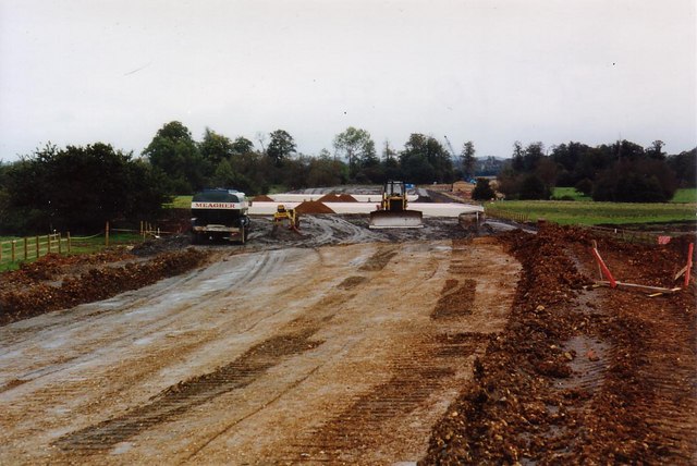
| current | 19:24, 7 March 2010 | | 640 × 428 (71 KB) | Jeni (talk | contribs) | '''More infill'''<br/>The infilling between the tunnels mounts up. The tanker on the left was used to fill all the engines running around the site. |
File usage
There are no pages that use this file.