File:Moss Lane at the junction with Lever House Lane - Geograph - 2325474.jpg
Jump to navigation
Jump to search

No higher resolution available.
Moss_Lane_at_the_junction_with_Lever_House_Lane_-_Geograph_-_2325474.jpg (640 × 470 pixels, file size: 95 KB, MIME type: image/jpeg)
| |||||||||||||||||||||||||
|
Galleries | B5255 (Leyland) | unclassified | ||
File history
Click on a date/time to view the file as it appeared at that time.
| Date/Time | Thumbnail | Dimensions | User | Comment | |
|---|---|---|---|---|---|
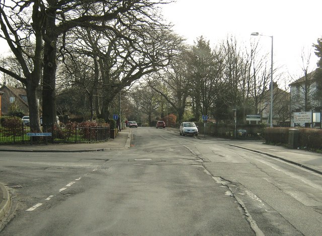
| current | 17:54, 27 June 2016 | | 640 × 470 (95 KB) | Vlad (talk | contribs) | '''Moss Lane at the junction with Lever House Lane''' Moss Lane used to continue from here through to the A49 but, when the M6 was built, Moss Lane was cut in two. As can be seen from the road sign, it is now a "No Through Road". |
File usage
The following 2 pages use this file: