File:Motorway junction, Lisburn (3) - Geograph - 1146261.jpg
Jump to navigation
Jump to search

No higher resolution available.
Motorway_junction,_Lisburn_(3)_-_Geograph_-_1146261.jpg (640 × 376 pixels, file size: 77 KB, MIME type: image/jpeg)
| |||||||||||||||||||||||||
|
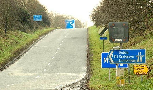
Galleries | M1 (Northern Ireland) | Lisburn | Saintfield Road Interchange | Flag Sign | Chopsticks | ||
File history
Click on a date/time to view the file as it appeared at that time.
| Date/Time | Thumbnail | Dimensions | User | Comment | |
|---|---|---|---|---|---|
| current | 16:33, 25 April 2013 | | 640 × 376 (77 KB) | Si404 (talk | contribs) | Motorway junction, Lisburn (3) |
File usage
The following 3 pages use this file:
_-_Geograph_-_1146261.jpg&oldid=332445)