File:Mouth of the Ballyboe River - Geograph - 3614607.jpg
Jump to navigation
Jump to search

No higher resolution available.
Mouth_of_the_Ballyboe_River_-_Geograph_-_3614607.jpg (640 × 480 pixels, file size: 106 KB, MIME type: image/jpeg)
| |||||||||||||||||||||||||
|
Galleries | R242 | Inis Eoghain 100 | Wild Atlantic Way | ||
File history
Click on a date/time to view the file as it appeared at that time.
| Date/Time | Thumbnail | Dimensions | User | Comment | |
|---|---|---|---|---|---|
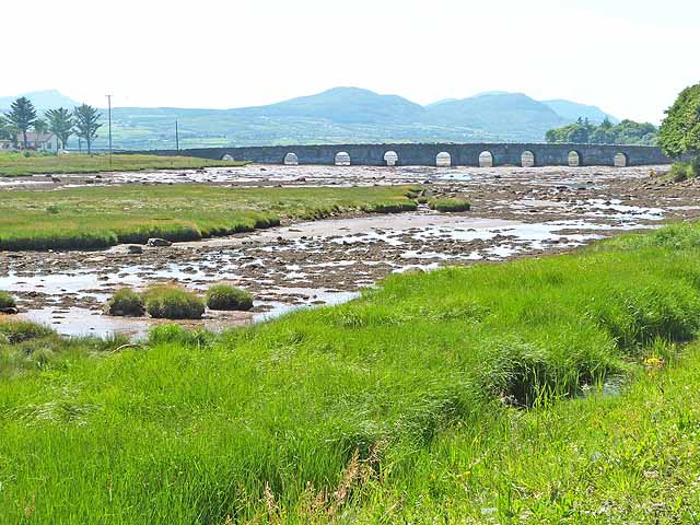
| current | 08:43, 8 May 2016 | | 640 × 480 (106 KB) | C2r (talk | contribs) | '''Mouth of the Ballyboe River''' The nine arches of Malin Bridge carrying the R242 can be seen in the middle distance with Trawbreaga Bay beyond. |
File usage
The following 3 pages use this file: