File:Muddy road north of Turves - Geograph - 3193968.jpg
Jump to navigation
Jump to search

No higher resolution available.
Muddy_road_north_of_Turves_-_Geograph_-_3193968.jpg (640 × 480 pixels, file size: 66 KB, MIME type: image/jpeg)
| |||||||||||||||||||||||||
|
Galleries | C70 (Cambridgeshire) | Cambridgeshire | ||
File history
Click on a date/time to view the file as it appeared at that time.
| Date/Time | Thumbnail | Dimensions | User | Comment | |
|---|---|---|---|---|---|
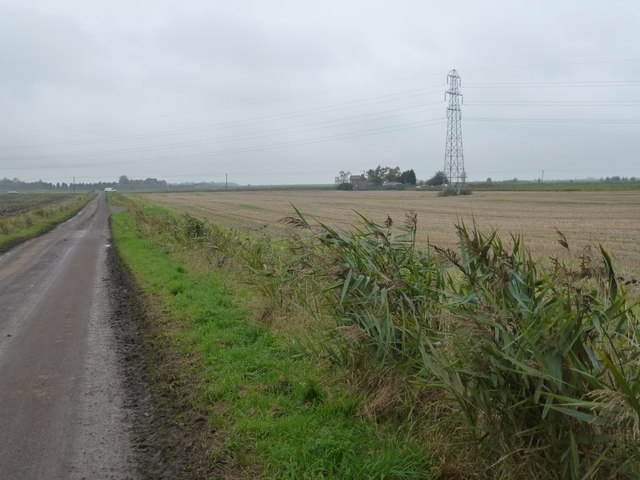
| current | 10:26, 31 December 2017 | | 640 × 480 (66 KB) | C2r (talk | contribs) | '''Muddy road north of Turves''' Potato harvesting was well underway on a nearby field and the farmer was doing his best to keep the road clear of mud using a brush on the front of a teleporter. |
File usage
The following 2 pages use this file: