File:Mullacott Cross on the A361 - Geograph - 788784.jpg
Jump to navigation
Jump to search

No higher resolution available.
Mullacott_Cross_on_the_A361_-_Geograph_-_788784.jpg (640 × 426 pixels, file size: 66 KB, MIME type: image/jpeg)
| |||||||||||||||||||||||||
|
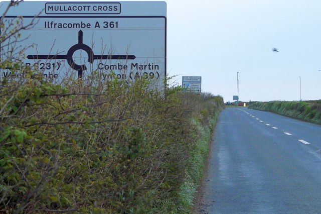
Galleries | A361 | Advance Direction Sign | Mullacott Cross | ||
File history
Click on a date/time to view the file as it appeared at that time.
| Date/Time | Thumbnail | Dimensions | User | Comment | |
|---|---|---|---|---|---|
| current | 11:35, 14 February 2010 | | 640 × 426 (66 KB) | Jeni (talk | contribs) | {{Information |description = Mullacott Cross on the A361 |day = 03 |month = 05 |year = 2008 |photographer = © Copyright [http://www.geograph.org.uk/profile/22769 Roger A Smith] and licensed for reuse under [http://creativecommons |
File usage
The following 2 pages use this file: