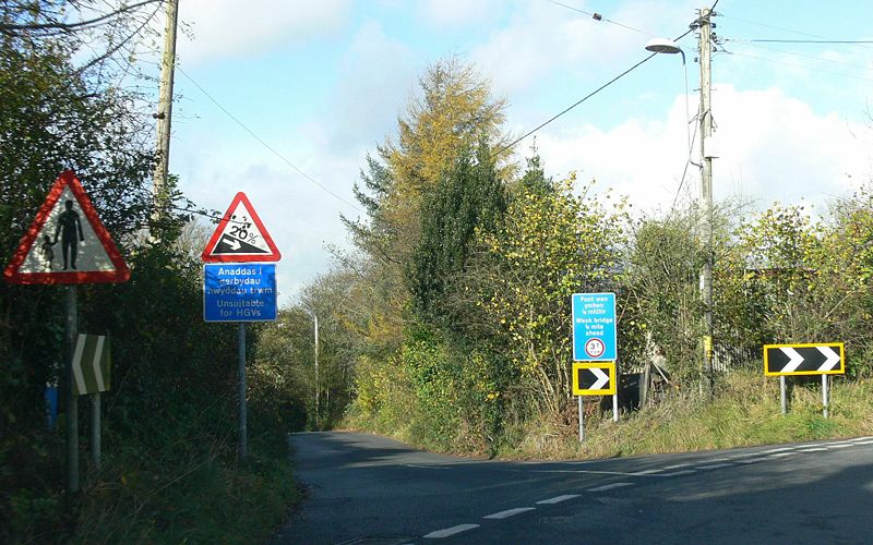
Description: Mynydd Y Farteg - North off Rhos Common with L to Farteg Hill, Ystradgynlais. Unclassified Road.Location: 51.763961, -3.757297 Road: Date: 11 2009 Photographer: Aandy Source: Coppermine
File history
Click on a date/time to view the file as it appeared at that time.
Date/Time Thumbnail Dimensions User Comment current 19:46, 16 January 2010 2,000 × 1,250 (547 KB) Jeni (talk | contribs ) {{Information |description = '''Mynydd Y Farteg''' - North off Rhos Common with L to Farteg hill, Ystradgynlais. {{Attention|What road?}} |day = |month = 11 |year = 2009 |photographer = Aandy |source = [http:
File usage
The following page uses this file:
This file contains additional information, probably added from the digital camera or scanner used to create or digitise it.
If the file has been modified from its original state, some details may not fully reflect the modified file.
