File:N11 near Roscath - Geograph - 1456579.jpg
Jump to navigation
Jump to search

No higher resolution available.
N11_near_Roscath_-_Geograph_-_1456579.jpg (640 × 428 pixels, file size: 68 KB, MIME type: image/jpeg)
| |||||||||||||||||||||||||
|
Galleries | N11 | Beehive Junction | ||
File history
Click on a date/time to view the file as it appeared at that time.
| Date/Time | Thumbnail | Dimensions | User | Comment | |
|---|---|---|---|---|---|
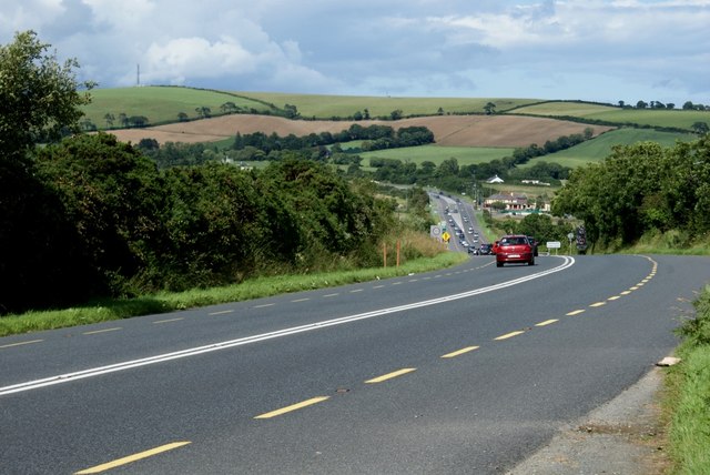
| current | 09:03, 10 July 2016 | | 640 × 428 (68 KB) | C2r (talk | contribs) | '''N11 near Roscath''' This section has since been bypassed by the M11. View looking north towards the Beehive Inn. |
File usage
The following 2 pages use this file: