File:N21 north out of Castleisland - Geograph - 581630.jpg
Jump to navigation
Jump to search

No higher resolution available.
N21_north_out_of_Castleisland_-_Geograph_-_581630.jpg (640 × 480 pixels, file size: 88 KB, MIME type: image/jpeg)
| |||||||||||||||||||||||||
|
Galleries | L2041 | Castleisland | ||
File history
Click on a date/time to view the file as it appeared at that time.
| Date/Time | Thumbnail | Dimensions | User | Comment | |
|---|---|---|---|---|---|
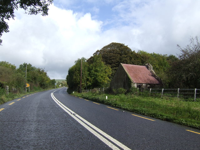
| current | 19:09, 11 February 2011 | | 640 × 480 (88 KB) | Si404 (talk | contribs) | '''Former N21 north out of Castleisland'''<br/>The main road to Limerick from Tralee. |
File usage
The following page uses this file: