File:Narberth High Street (C) Philip Halling - Geograph - 3706162.jpg
Jump to navigation
Jump to search

No higher resolution available.
Narberth_High_Street_(C)_Philip_Halling_-_Geograph_-_3706162.jpg (640 × 425 pixels, file size: 71 KB, MIME type: image/jpeg)
| |||||||||||||||||||||||||
|
Galleries | A478 | A4074 (Narberth) | ||
File history
Click on a date/time to view the file as it appeared at that time.
| Date/Time | Thumbnail | Dimensions | User | Comment | |
|---|---|---|---|---|---|
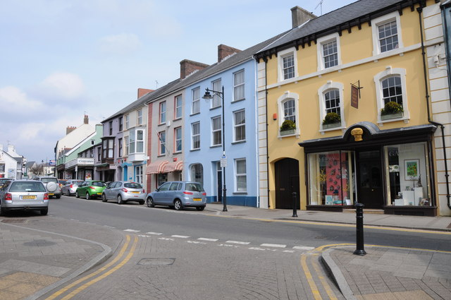
| current | 19:19, 25 August 2014 | | 640 × 425 (71 KB) | Vlad (talk | contribs) | '''Narberth High Street (C) Philip Halling '''<br/>Shops and premises on Narberth High Street. |
File usage
The following 2 pages use this file:
_Philip_Halling_-_Geograph_-_3706162.jpg&oldid=384111)