File:National Cycle Network 13 near Ferry... (C) David Anstiss - Geograph - 3219517.jpg
Jump to navigation
Jump to search

No higher resolution available.
National_Cycle_Network_13_near_Ferry..._(C)_David_Anstiss_-_Geograph_-_3219517.jpg (640 × 480 pixels, file size: 78 KB, MIME type: image/jpeg)
| |||||||||||||||||||||||||
|
Galleries | NCN13 | A13 | Flag Sign | Ferry Lane Interchange | ||
File history
Click on a date/time to view the file as it appeared at that time.
| Date/Time | Thumbnail | Dimensions | User | Comment | |
|---|---|---|---|---|---|
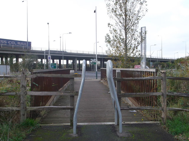
| current | 13:11, 8 March 2014 | | 640 × 480 (78 KB) | Si404 (talk | contribs) | '''National Cycle Network 13 near Ferry... (C) David Anstiss '''<br/>The cyclepath leads from Rainham Railway Station through the Rainham Marshes towards the A13 (dual carriageway, seen in the background), the cyclepath then leads (through another sect... |
File usage
The following 2 pages use this file:
_David_Anstiss_-_Geograph_-_3219517.jpg&oldid=366421)