File:National Cycle Network Route 753 - Geograph - 5022091.jpg
Jump to navigation
Jump to search

No higher resolution available.
National_Cycle_Network_Route_753_-_Geograph_-_5022091.jpg (640 × 480 pixels, file size: 114 KB, MIME type: image/jpeg)
| |||||||||||||||||||||||||
|
Galleries | NCN753 | ||
File history
Click on a date/time to view the file as it appeared at that time.
| Date/Time | Thumbnail | Dimensions | User | Comment | |
|---|---|---|---|---|---|
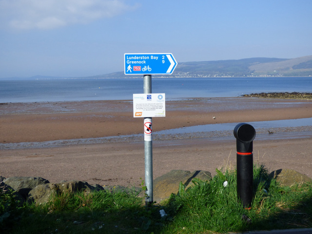
| current | 20:37, 11 April 2021 | | 640 × 480 (114 KB) | Tam nugent (talk | contribs) | National Cycle Network Route 753 at the shore path between Kip Marina Village and the beach. |
File usage
The following page uses this file: