File:National Cycle Network milepost,... (C) Albert Bridge - Geograph - 2223315.jpg
Jump to navigation
Jump to search

No higher resolution available.
National_Cycle_Network_milepost,..._(C)_Albert_Bridge_-_Geograph_-_2223315.jpg (640 × 331 pixels, file size: 58 KB, MIME type: image/jpeg)
| |||||||||||||||||||||||||
|
Galleries | NCN96 | A2 (Northern Ireland) | Coleraine | ||
File history
Click on a date/time to view the file as it appeared at that time.
| Date/Time | Thumbnail | Dimensions | User | Comment | |
|---|---|---|---|---|---|
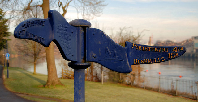
| current | 14:57, 30 January 2014 | | 640 × 331 (58 KB) | Si404 (talk | contribs) | '''National Cycle Network milepost,... (C) Albert Bridge '''<br/>National Cycle Network milepost (Route 96 � including the north coast) at the Waterside end of the Town Bridge <a href="http://www.geograph.org.uk/photo/594558">C8432 : The Town Bridge, C... |
File usage
The following page uses this file:
_Albert_Bridge_-_Geograph_-_2223315.jpg&oldid=362042)