File:National Cycle Network milepost, Larne (C) Albert Bridge - Geograph - 2739833.jpg
Jump to navigation
Jump to search

No higher resolution available.
National_Cycle_Network_milepost,_Larne_(C)_Albert_Bridge_-_Geograph_-_2739833.jpg (574 × 458 pixels, file size: 114 KB, MIME type: image/jpeg)
| |||||||||||||||||||||||||
File history
Click on a date/time to view the file as it appeared at that time.
| Date/Time | Thumbnail | Dimensions | User | Comment | |
|---|---|---|---|---|---|
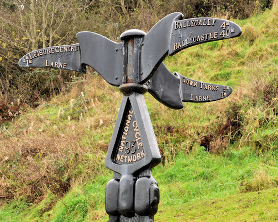
| current | 15:22, 30 January 2014 | | 574 × 458 (114 KB) | Si404 (talk | contribs) | '''National Cycle Network milepost, Larne (C) Albert Bridge '''<br/>A milepost, along the Promenade, on National Cycle Network route 93, part of which includes the Antrim coast. |
File usage
There are no pages that use this file.
_Albert_Bridge_-_Geograph_-_2739833.jpg&oldid=362063)