File:National Cycle Route 13 meets... (C) David Anstiss - Geograph - 3219436.jpg
Jump to navigation
Jump to search

No higher resolution available.
National_Cycle_Route_13_meets..._(C)_David_Anstiss_-_Geograph_-_3219436.jpg (640 × 480 pixels, file size: 77 KB, MIME type: image/jpeg)
| |||||||||||||||||||||||||
File history
Click on a date/time to view the file as it appeared at that time.
| Date/Time | Thumbnail | Dimensions | User | Comment | |
|---|---|---|---|---|---|
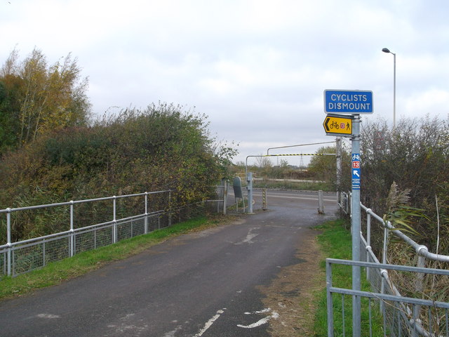
| current | 13:29, 8 March 2014 | | 640 × 480 (77 KB) | Si404 (talk | contribs) | '''National Cycle Route 13 meets... (C) David Anstiss '''<br/>This cyclepath leads from Rainham Railway Station through the marshes towards the access road to a landfill site. The cyclepath then leads down to the River Thames to head towards Aveley Mar... |
File usage
The following page uses this file:
_David_Anstiss_-_Geograph_-_3219436.jpg&oldid=366431)