File:Near Drogheda, County Louth - Geograph - 1785466.jpg
Jump to navigation
Jump to search

No higher resolution available.
Near_Drogheda,_County_Louth_-_Geograph_-_1785466.jpg (640 × 420 pixels, file size: 69 KB, MIME type: image/jpeg)
| |||||||||||||||||||||||||
|
Galleries | R168 | County Louth | ||
File history
Click on a date/time to view the file as it appeared at that time.
| Date/Time | Thumbnail | Dimensions | User | Comment | |
|---|---|---|---|---|---|
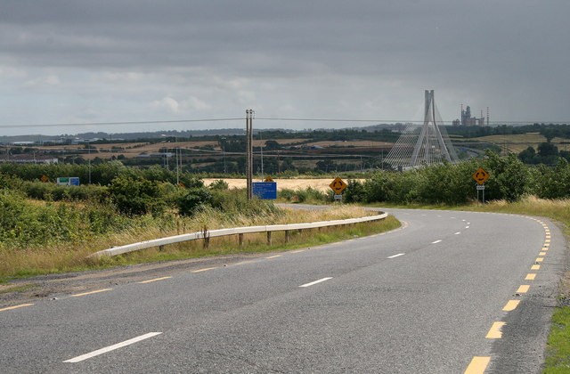
| current | 18:24, 9 October 2014 | | 640 × 420 (69 KB) | Viator (talk | contribs) | The R168 approaches the M1 motorway. South is the Boyne Bridge and beyond that a cement factory. |
File usage
The following 3 pages use this file: