File:Near Leitrim Village, County Leitrim - Geograph - 1832196.jpg
Jump to navigation
Jump to search

No higher resolution available.
Near_Leitrim_Village,_County_Leitrim_-_Geograph_-_1832196.jpg (640 × 427 pixels, file size: 60 KB, MIME type: image/jpeg)
| |||||||||||||||||||||||||
|
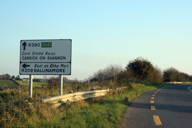
Galleries | R209 | R280 | Warning Sign/Side Road | Advance Direction Sign | ||
File history
Click on a date/time to view the file as it appeared at that time.
| Date/Time | Thumbnail | Dimensions | User | Comment | |
|---|---|---|---|---|---|
| current | 08:33, 8 May 2016 | | 640 × 427 (60 KB) | C2r (talk | contribs) | '''Near Leitrim Village, County Leitrim''' Left turn ahead. |
File usage
The following 3 pages use this file: