File:Near Shire Hall, 1982 - Geograph - 1438145.jpg
Jump to navigation
Jump to search

No higher resolution available.
Near_Shire_Hall,_1982_-_Geograph_-_1438145.jpg (640 × 418 pixels, file size: 48 KB, MIME type: image/jpeg)
| |||||||||||||||||||||||||
File history
Click on a date/time to view the file as it appeared at that time.
| Date/Time | Thumbnail | Dimensions | User | Comment | |
|---|---|---|---|---|---|
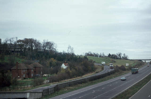
| current | 12:10, 30 December 2009 | | 640 × 418 (48 KB) | Jeni (talk | contribs) | {{Information |description = Near Shire Hall, 1982 |day = 24 |month = 11 |year = 1982 |photographer = © Copyright [http://www.geograph.org.uk/profile/9181 Alan Murray-Rust] and licensed for reuse under [http://creativecommons.org |
File usage
The following 2 pages use this file: