File:Nether Bouprie by Aberdour (C) edward mcmaihin - Geograph - 2392084.jpg
Jump to navigation
Jump to search

No higher resolution available.
Nether_Bouprie_by_Aberdour_(C)_edward_mcmaihin_-_Geograph_-_2392084.jpg (640 × 367 pixels, file size: 79 KB, MIME type: image/jpeg)
| |||||||||||||||||||||||||
|
Galleries | B9157 | B924 (Aberdour) | ||
File history
Click on a date/time to view the file as it appeared at that time.
| Date/Time | Thumbnail | Dimensions | User | Comment | |
|---|---|---|---|---|---|
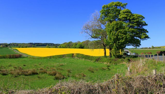
| current | 20:00, 14 April 2015 | | 640 × 367 (79 KB) | Vlad (talk | contribs) | '''Nether Bouprie by Aberdour (C) edward mcmaihin '''<br/>Farmland with the yellow oil seed rape field prominent. |
File usage
The following 3 pages use this file:
_edward_mcmaihin_-_Geograph_-_2392084.jpg&oldid=396998)