File:Netherhall Corner - Geograph - 5515357.jpg
Jump to navigation
Jump to search

No higher resolution available.
Netherhall_Corner_-_Geograph_-_5515357.jpg (640 × 360 pixels, file size: 75 KB, MIME type: image/jpeg)
| |||||||||||||||||||||||||
|
Galleries | A594 (Papcastle - Maryport) | A596 | Netherhall Corner | ||
File history
Click on a date/time to view the file as it appeared at that time.
| Date/Time | Thumbnail | Dimensions | User | Comment | |
|---|---|---|---|---|---|
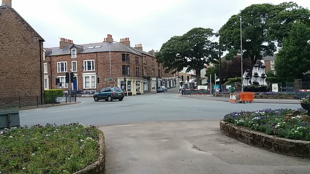
| current | 14:28, 29 August 2017 | | 640 × 360 (75 KB) | Tom h (talk | contribs) | '''Netherhall Corner''' Junction between the A596 and A594 in the centre of Maryport |
File usage
The following 4 pages use this file: