File:Netley Firs Close - Coppermine - 6636.JPG
Jump to navigation
Jump to search

Size of this preview: 800 × 600 pixels. Other resolution: 1,280 × 960 pixels.
Original file (1,280 × 960 pixels, file size: 331 KB, MIME type: image/jpeg)
| |||||||||||||||||||||||||
|
Galleries | Abandoned Road | Southampton | ||
File history
Click on a date/time to view the file as it appeared at that time.
| Date/Time | Thumbnail | Dimensions | User | Comment | |
|---|---|---|---|---|---|
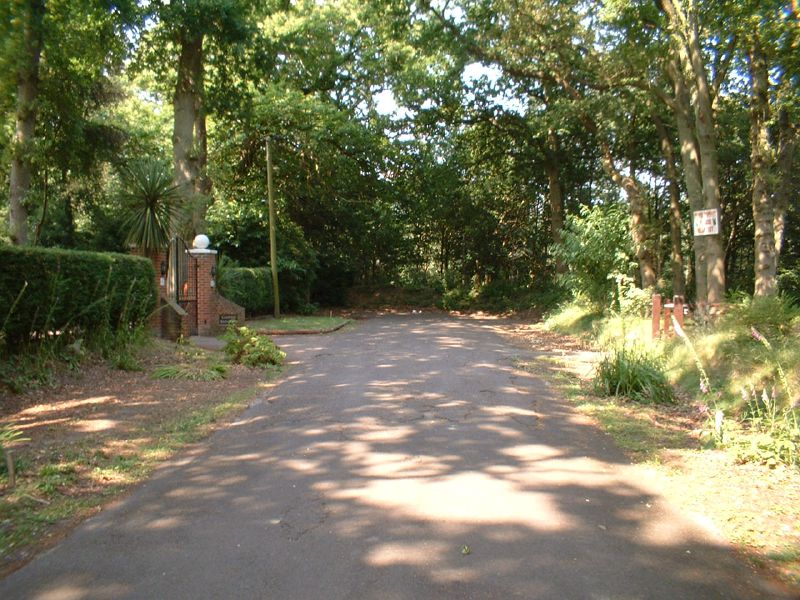
| current | 20:43, 10 May 2013 | | 1,280 × 960 (331 KB) | Vlad (talk | contribs) | '''Netley Firs Close''' This road was once a through road and linked the A27 Kanes Hill with Northam Road in Hedge End, but was bisected by the M27 which is just behind the earth bank and trees at the end of the road. <small>''Originally uploaded to ... |
File usage
There are no pages that use this file.