File:New Redheugh Bridge, Gateshead - Geograph - 1238818.jpg
Jump to navigation
Jump to search

No higher resolution available.
New_Redheugh_Bridge,_Gateshead_-_Geograph_-_1238818.jpg (640 × 453 pixels, file size: 52 KB, MIME type: image/jpeg)
| |||||||||||||||||||||||||
|
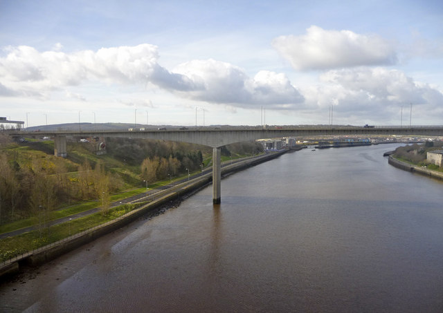
Galleries | A189 | A6082 | New Redheugh Bridge | ||
File history
Click on a date/time to view the file as it appeared at that time.
| Date/Time | Thumbnail | Dimensions | User | Comment | |
|---|---|---|---|---|---|
| current | 13:15, 14 September 2009 | | 640 × 453 (52 KB) | Bob@romiley1 (talk | contribs) | {{Information |description = New Redheugh Bridge, Gateshead |day = 31 |month = 03 |year = 2009 |photographer = © Copyright [http://www.geograph.org.uk/profile/1777 Christine Matthews] and licensed for reuse under [http://creative |
File usage
The following 4 pages use this file: