File:New dual carriageway, Ballymena (12) - Geograph - 1598707.jpg
Jump to navigation
Jump to search

No higher resolution available.
New_dual_carriageway,_Ballymena_(12)_-_Geograph_-_1598707.jpg (640 × 352 pixels, file size: 85 KB, MIME type: image/jpeg)
| |||||||||||||||||||||||||
|
Galleries | A26 (Northern Ireland) | A36 (Northern Ireland) | Ballymena | Roadworks | Larne Road Roundabout | ||
File history
Click on a date/time to view the file as it appeared at that time.
| Date/Time | Thumbnail | Dimensions | User | Comment | |
|---|---|---|---|---|---|
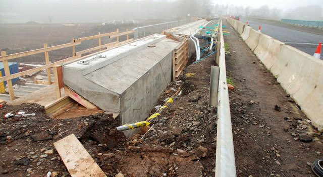
| current | 14:16, 8 May 2010 | | 640 × 352 (85 KB) | Si404 (talk | contribs) | '''New dual carriageway, Ballymena (12)'''<br/>See <a href="http://www.geograph.org.uk/photo/1598689">D1201 : New dual carriageway, Ballymena (11)</a>. The view, west, of the strengthening work on the same flyover. Continue to <a href="http://www.geogra |
File usage
The following 3 pages use this file:
_-_Geograph_-_1598707.jpg&oldid=172472)