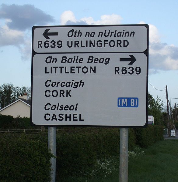
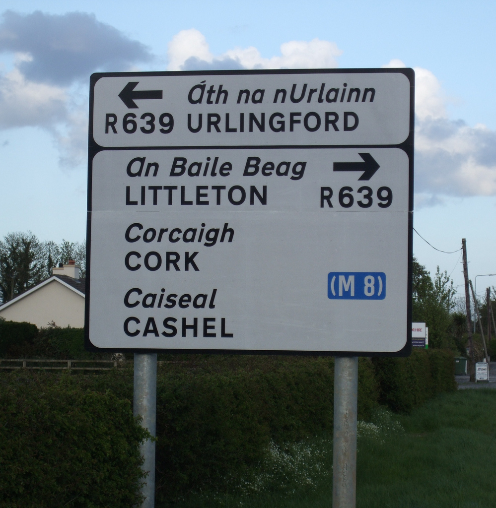
File:New regional and local road signage erected along the detrunked N8 - Coppermine - 22134.jpg
Jump to navigation
Jump to search
Size of this preview: 585 × 600 pixels. Other resolution: 999 × 1,024 pixels.
Original file (999 × 1,024 pixels, file size: 400 KB, MIME type: image/jpeg)
| |||||||||||||||||||||||||
|
Galleries | L4202 | R639 | Advance Direction Sign | Bilingual signs | County Tipperary | ||
File history
Click on a date/time to view the file as it appeared at that time.
| Date/Time | Thumbnail | Dimensions | User | Comment | |
|---|---|---|---|---|---|
| current | 11:15, 15 June 2010 | | 999 × 1,024 (400 KB) | Bob@romiley1 (talk | contribs) | '''New regional and local road signage erected along the detrunked N8''' <small>''Originally uploaded to Coppermine on May 02, 2009 by Furet''</small> |
File usage
The following 3 pages use this file: