File:New roads west of Limerick - Geograph - 3685409.jpg
Jump to navigation
Jump to search

No higher resolution available.
New_roads_west_of_Limerick_-_Geograph_-_3685409.jpg (640 × 427 pixels, file size: 57 KB, MIME type: image/jpeg)
| |||||||||||||||||||||||||
|
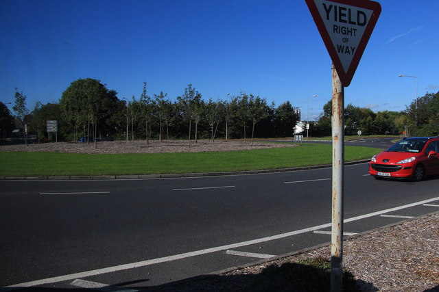
Galleries | R510 | R859 | Quinn's Cross Roundabout | Regulatory Sign/Give Way | ||
File history
Click on a date/time to view the file as it appeared at that time.
| Date/Time | Thumbnail | Dimensions | User | Comment | |
|---|---|---|---|---|---|
| current | 17:18, 13 May 2016 | | 640 × 427 (57 KB) | C2r (talk | contribs) | '''New roads west of Limerick''' The road layout and road numbers west of Limerick have changed with the building of the tunnel under the Shannon, so my newly bought sheet 65 OS map is out of date. The whole of this roundabout is in the square, at its ... |
File usage
The following 4 pages use this file: