File:Newbury bypass bridge - Geograph - 1341393.jpg
Jump to navigation
Jump to search

No higher resolution available.
Newbury_bypass_bridge_-_Geograph_-_1341393.jpg (640 × 426 pixels, file size: 196 KB, MIME type: image/jpeg)
| |||||||||||||||||||||||||
|
Galleries | A34 | Newbury Bypass Bridge | Pictures from Geograph | ||
File history
Click on a date/time to view the file as it appeared at that time.
| Date/Time | Thumbnail | Dimensions | User | Comment | |
|---|---|---|---|---|---|
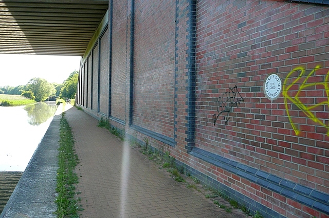
| current | 17:29, 4 June 2010 | | 640 × 426 (196 KB) | Bob@romiley1 (talk | contribs) | '''Newbury bypass bridge'''<br/>The A34 over the canal east of Higg's Lock. A close up of the plaque to the right is seen here <a href="http://www.geograph.org.uk/photo/1341380">SU4466 : Ten thousand trees</a> |
File usage
The following 2 pages use this file: