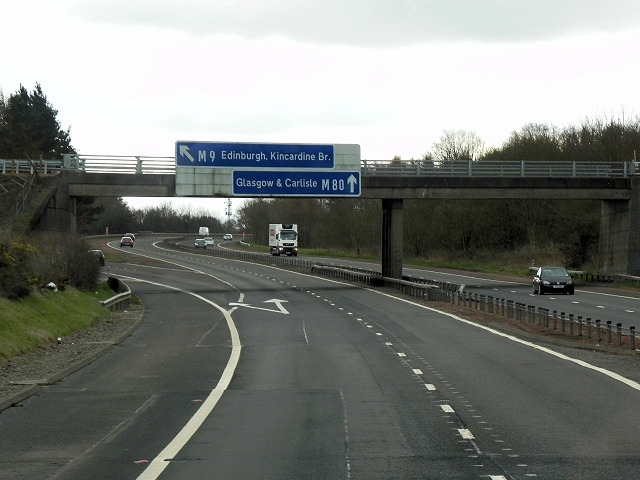
File:Newline Road Bridge and Direction Signs, M9-M80 Junction - Geograph - 4031863.jpg
Jump to navigation
Jump to search

No higher resolution available.
Newline_Road_Bridge_and_Direction_Signs,_M9-M80_Junction_-_Geograph_-_4031863.jpg (640 × 480 pixels, file size: 200 KB, MIME type: image/jpeg)
| |||||||||||||||||||||||||
|
Galleries | M9 | M80 | Pirnhall Interchange | ||
File history
Click on a date/time to view the file as it appeared at that time.
| Date/Time | Thumbnail | Dimensions | User | Comment | |
|---|---|---|---|---|---|
| current | 07:55, 9 June 2016 | | 640 × 480 (200 KB) | Jeni (talk | contribs) | '''Newline Road Bridge and Direction Signs, M9-M80 Junction''' |
File usage
The following page uses this file: