File:North Mouth and South Mouth, Out Skerries - Geograph - 3928185.jpg
Jump to navigation
Jump to search

No higher resolution available.
North_Mouth_and_South_Mouth,_Out_Skerries_-_Geograph_-_3928185.jpg (640 × 481 pixels, file size: 127 KB, MIME type: image/jpeg)
| |||||||||||||||||||||||||
|
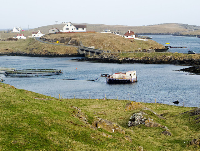
Galleries | Skerries Bridge | Zetland | ||
File history
Click on a date/time to view the file as it appeared at that time.
| Date/Time | Thumbnail | Dimensions | User | Comment | |
|---|---|---|---|---|---|
| current | 14:09, 30 August 2018 | | 640 × 481 (127 KB) | C2r (talk | contribs) | '''North Mouth and South Mouth, Out Skerries''' The Skerries bridge crosses the narrows between North Mouth and South Mouth joining the islands of Housay and Bruray. |
File usage
The following 4 pages use this file: