File:North Road, Burslem (C) David Weston - Geograph - 3631184.jpg
Jump to navigation
Jump to search

No higher resolution available.
North_Road,_Burslem_(C)_David_Weston_-_Geograph_-_3631184.jpg (640 × 480 pixels, file size: 61 KB, MIME type: image/jpeg)
| |||||||||||||||||||||||||
|
Galleries | B5050 | Stoke-on-Trent | ||
File history
Click on a date/time to view the file as it appeared at that time.
| Date/Time | Thumbnail | Dimensions | User | Comment | |
|---|---|---|---|---|---|
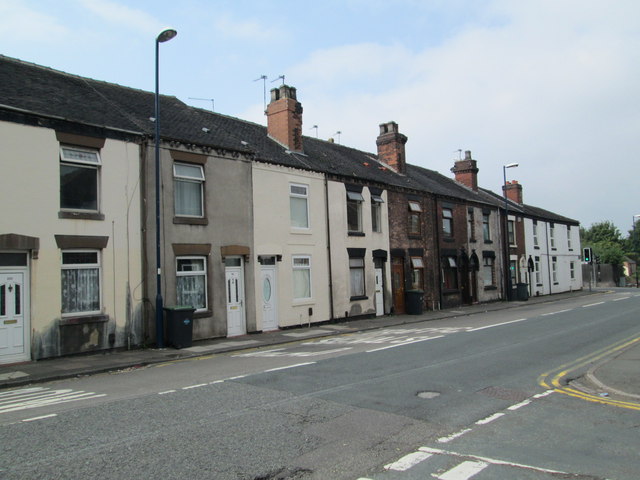
| current | 15:59, 12 November 2013 | | 640 × 480 (61 KB) | Vlad (talk | contribs) | '''North Road, Burslem (C) David Weston '''<br/>Seen from the junction with Fraser Street. On the right are traffic lights at the intersection with Sandbach Road. |
File usage
The following 2 pages use this file:
_David_Weston_-_Geograph_-_3631184.jpg&oldid=358989)