File:North end of Inverkeithing High Street (C) Liz 'n' Jim - Geograph - 2488198.jpg
Jump to navigation
Jump to search

No higher resolution available.
North_end_of_Inverkeithing_High_Street_(C)_Liz_'n'_Jim_-_Geograph_-_2488198.jpg (640 × 480 pixels, file size: 71 KB, MIME type: image/jpeg)
| |||||||||||||||||||||||||
|
Galleries | B981 | ||
File history
Click on a date/time to view the file as it appeared at that time.
| Date/Time | Thumbnail | Dimensions | User | Comment | |
|---|---|---|---|---|---|
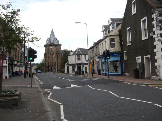
| current | 10:58, 9 May 2014 | | 640 × 480 (71 KB) | Si404 (talk | contribs) | '''North end of Inverkeithing High Street (C) Liz 'n' Jim '''<br/>With the parish church dominating in the background. |
File usage
The following page uses this file:
_Liz_%27n%27_Jim_-_Geograph_-_2488198.jpg&oldid=373220)