File:Northern boundary of Llanellen - Geograph - 2605450.jpg
Jump to navigation
Jump to search

Size of this preview: 619 × 600 pixels. Other resolution: 640 × 620 pixels.
Original file (640 × 620 pixels, file size: 137 KB, MIME type: image/jpeg)
| |||||||||||||||||||||||||
|
Galleries | B4269 | ||
File history
Click on a date/time to view the file as it appeared at that time.
| Date/Time | Thumbnail | Dimensions | User | Comment | |
|---|---|---|---|---|---|
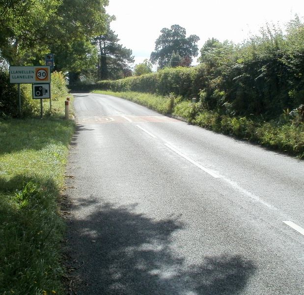
| current | 21:39, 16 May 2012 | | 640 × 620 (137 KB) | Viator (talk | contribs) | Northern boundary of Llanellen |
File usage
The following 2 pages use this file: