File:Northern end of Ty Mawr - Geograph - 1067124.jpg
Jump to navigation
Jump to search

No higher resolution available.
Northern_end_of_Ty_Mawr_-_Geograph_-_1067124.jpg (640 × 428 pixels, file size: 105 KB, MIME type: image/jpeg)
| |||||||||||||||||||||||||
|
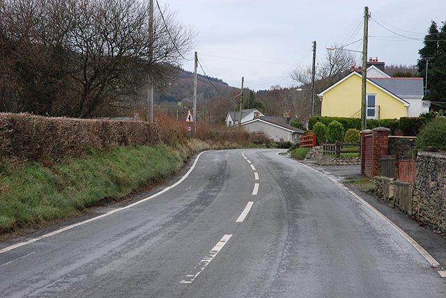
Galleries | B4337 | Speed limit sign | Warning Sign/Side Road | S2 | ||
File history
Click on a date/time to view the file as it appeared at that time.
| Date/Time | Thumbnail | Dimensions | User | Comment | |
|---|---|---|---|---|---|
| current | 17:28, 13 March 2010 | | 640 × 428 (105 KB) | Bob@romiley1 (talk | contribs) | {{Information |description = Northern end of Ty Mawr |day = 02 |month = 12 |year = 2008 |photographer = © Copyright [http://www.geograph.org.uk/profile/15376 Nigel Brown] and licensed for reuse under [http://creativecommons.org/l |
File usage
The following page uses this file: