File:Northern end of a long stone wall south... (C) Jaggery - Geograph - 4045120.jpg
Jump to navigation
Jump to search

No higher resolution available.
Northern_end_of_a_long_stone_wall_south..._(C)_Jaggery_-_Geograph_-_4045120.jpg (640 × 389 pixels, file size: 75 KB, MIME type: image/jpeg)
| |||||||||||||||||||||||||
|
Galleries | A4054 | ||
File history
Click on a date/time to view the file as it appeared at that time.
| Date/Time | Thumbnail | Dimensions | User | Comment | |
|---|---|---|---|---|---|
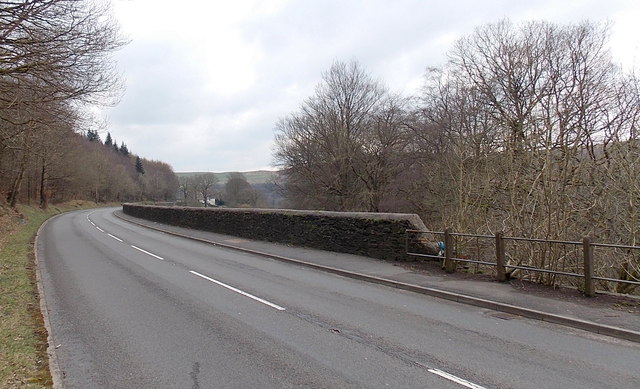
| current | 20:37, 19 August 2014 | | 640 × 389 (75 KB) | Vlad (talk | contribs) | '''Northern end of a long stone wall south... (C) Jaggery '''<br/>The barrier at the western edge of the A4054 Cardiff Road<br /> changes from a stone wall to a fence of concrete posts and metal poles. |
File usage
The following page uses this file:
_Jaggery_-_Geograph_-_4045120.jpg&oldid=383575)