File:Nottingham - NG3 (Old Sneinton) (C) David Hallam-Jones - Geograph - 2940332.jpg
Jump to navigation
Jump to search

No higher resolution available.
Nottingham_-_NG3_(Old_Sneinton)_(C)_David_Hallam-Jones_-_Geograph_-_2940332.jpg (640 × 480 pixels, file size: 81 KB, MIME type: image/jpeg)
| |||||||||||||||||||||||||
|
Galleries | B685 | unclassified | Nottingham | ||
File history
Click on a date/time to view the file as it appeared at that time.
| Date/Time | Thumbnail | Dimensions | User | Comment | |
|---|---|---|---|---|---|
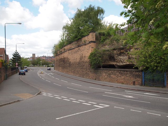
| current | 20:34, 23 February 2015 | | 640 × 480 (81 KB) | Vlad (talk | contribs) | '''Nottingham - NG3 (Old Sneinton) (C) David Hallam-Jones '''<br/>This is Sneinton Hermitage (a cave site) on a road that is also called Sneinton Hermitage, as seen from Marham Close. Nottingham city centre is visible in the distance. The caves were in... |
File usage
The following 2 pages use this file:
_(C)_David_Hallam-Jones_-_Geograph_-_2940332.jpg&oldid=395485)