File:OS 1949 Brecon.jpg
Jump to navigation
Jump to search

Size of this preview: 800 × 581 pixels. Other resolution: 844 × 613 pixels.
Original file (844 × 613 pixels, file size: 457 KB, MIME type: image/jpeg)
| |||||||||||||||||||||||||
|
Galleries | A40 | A40/Abergavenny - Brecon | A40/Brecon - Carmarthen | Brecon | OS One Inch | ||
File history
Click on a date/time to view the file as it appeared at that time.
| Date/Time | Thumbnail | Dimensions | User | Comment | |
|---|---|---|---|---|---|
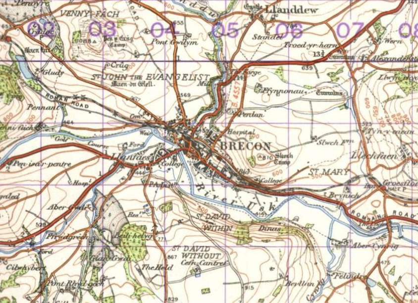
| current | 22:37, 15 October 2009 | | 844 × 613 (457 KB) | Jeni (talk | contribs) | {{Information |description = Brecon, 1949 |day = |month = |year = 1949 |photographer = |source = {{Npemap}} |road = A40 |road2 = |road3 = |lat = 51.950 |lng = -3.391 |gallery1 |
File usage
The following 2 pages use this file: