File:OS 1953 Evesham.jpg
Jump to navigation
Jump to search

Size of this preview: 501 × 600 pixels. Other resolution: 1,184 × 1,417 pixels.
Original file (1,184 × 1,417 pixels, file size: 288 KB, MIME type: image/jpeg)
| |||||||||||||||||||||||||
|
Galleries | A44 | A435 | A439 | OS One Inch | B4510 | ||
File history
Click on a date/time to view the file as it appeared at that time.
| Date/Time | Thumbnail | Dimensions | User | Comment | |
|---|---|---|---|---|---|
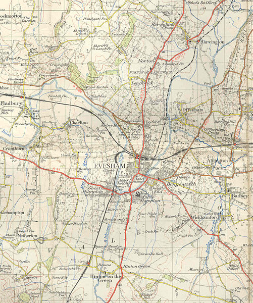
| current | 18:17, 11 October 2009 | | 1,184 × 1,417 (288 KB) | Jeni (talk | contribs) | {{Information |description = 1953 OS map of Evesham |day = |month = |year = |photographer = |source = |road = A44 |road2 = A435 |road3 = A439 |lat = 52.0913202 |lng = -1.94458 |
File usage
The following 4 pages use this file: