File:Old-a39-glast.jpg

From Roader's Digest: The SABRE Wiki
Jump to navigation Jump to search

Old-a39-glast.jpg(640 × 416 pixels, file size: 145 KB, MIME type: image/jpeg)

Y topleft.gifY topright.gif
Description:Part of the former A39/A361 multiplex along Glastonbury High Street
Location:51.1469943, -2.7180433
Road:A39, A361
Date:03 2003
Photographer:User:rileyrob
Source:

Map

Y btmleft.gifY btmright.gif

Galleries  | A39 | A361

File history

Click on a date/time to view the file as it appeared at that time.

Date/TimeThumbnailDimensionsUserComment
current20:59, 31 August 2009Thumbnail for version as of 20:59, 31 August 2009640 × 416 (145 KB)Rileyrob (talk | contribs)
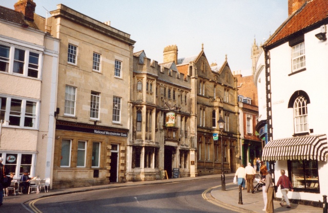
{{Information |description = Part of the former A39/A361 multiplex along Glastonbury High Street |day = |month = 03 |year = 2003 |photographer = User:rileyrob |source = |road = A39 |road2 = A361 |road3

There are no pages that use this file.

Metadata

SABRE - The Society for All British and Irish Road Enthusiasts
Discuss - Digest - Discover - Help