File:OldCourseofIsaacsLaneA273-Geograph-4423441.jpg
Jump to navigation
Jump to search

No higher resolution available.
OldCourseofIsaacsLaneA273-Geograph-4423441.jpg (640 × 480 pixels, file size: 97 KB, MIME type: image/jpeg)
| |||||||||||||||||||||||||
|
Galleries | A273 | ||
File history
Click on a date/time to view the file as it appeared at that time.
| Date/Time | Thumbnail | Dimensions | User | Comment | |
|---|---|---|---|---|---|
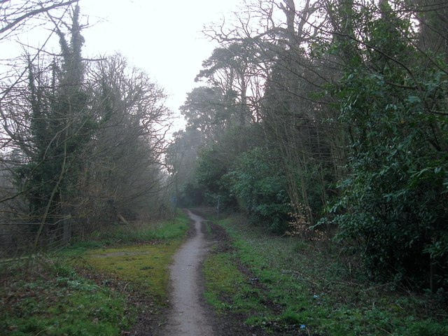
| current | 21:19, 20 January 2019 | | 640 × 480 (97 KB) | Jervi (talk | contribs) | '''Old Course of Isaac's Lane, Haywards Heath''' The old course of the road was closed in 2001 when the first phase of the Haywards Heath relief road was moved eastwards to accommodate a new roundabout to connect both the new development of Bolnore and... |
File usage
The following page uses this file: