File:Old A.4086 - Geograph - 828703.jpg
Jump to navigation
Jump to search

No higher resolution available.
Old_A.4086_-_Geograph_-_828703.jpg (640 × 480 pixels, file size: 85 KB, MIME type: image/jpeg)
| |||||||||||||||||||||||||
|
Galleries | A4086 | Abandoned Road | ||
File history
Click on a date/time to view the file as it appeared at that time.
| Date/Time | Thumbnail | Dimensions | User | Comment | |
|---|---|---|---|---|---|
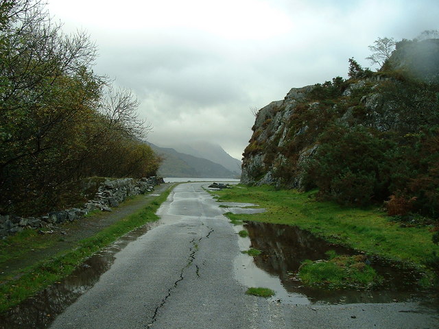
| current | 17:48, 8 March 2010 | | 640 × 480 (85 KB) | Jeni (talk | contribs) | '''Old A.4086'''<br/>Looking south east along a short stretch of the old A.4086 near to Llanberis Gwynedd. |
File usage
The following page uses this file: