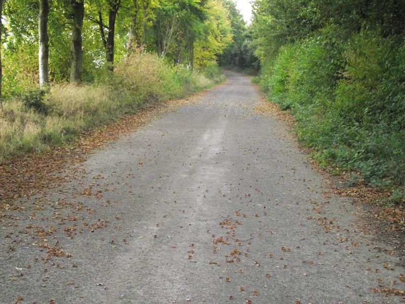
This part of the old route of the A303 is the temporary realignment that was needed to take traffic on as the newer Wylye bypass was being built it is about 50 meters long and was in use for only a few months in 1975
This part of the old route of the A303 is the temporary realignment that was needed to take traffic on as the newer Wylye bypass was being built it is about 50 meters long and was in use for only a few months in 1975
