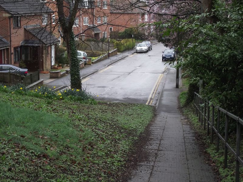
Looking down town on what was the old road out from Salisbury to the south coast with Bournemouth and Blandford ..Today the traffic light controlled roundabout has replaced the old fork junction..
Looking down town on what was the old road out from Salisbury to the south coast with Bournemouth and Blandford ..Today the traffic light controlled roundabout has replaced the old fork junction..
