File:Old A39- Old railway bridge, St Kew Highway - Geograph - 1285050.jpg
Jump to navigation
Jump to search

No higher resolution available.
Old_A39-_Old_railway_bridge,_St_Kew_Highway_-_Geograph_-_1285050.jpg (600 × 399 pixels, file size: 108 KB, MIME type: image/jpeg)
| |||||||||||||||||||||||||
|
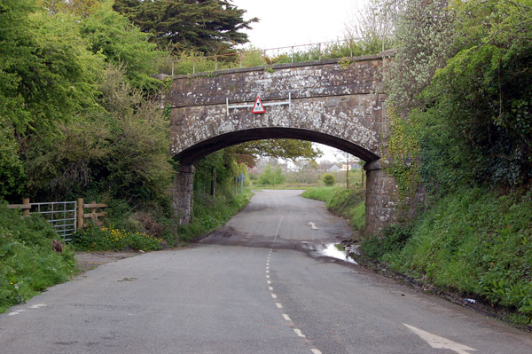
Galleries | A39 | Oxbow Road | Low Bridge | ||
File history
Click on a date/time to view the file as it appeared at that time.
| Date/Time | Thumbnail | Dimensions | User | Comment | |
|---|---|---|---|---|---|
| current | 21:04, 30 January 2010 | | 600 × 399 (108 KB) | Jeni (talk | contribs) | {{Information |description = Old A39- Old railway bridge, St Kew Highway |day = 30 |month = 04 |year = 2009 |photographer = © Copyright [http://www.geograph.org.uk/profile/32299 Andy F] and licensed for reuse under [http://creati |
File usage
The following page uses this file: