File:Old Military Road near Glencree - Geograph - 464207.jpg
Jump to navigation
Jump to search

No higher resolution available.
Old_Military_Road_near_Glencree_-_Geograph_-_464207.jpg (640 × 480 pixels, file size: 132 KB, MIME type: image/jpeg)
| |||||||||||||||||||||||||
|
Galleries | R115 | ||
File history
Click on a date/time to view the file as it appeared at that time.
| Date/Time | Thumbnail | Dimensions | User | Comment | |
|---|---|---|---|---|---|
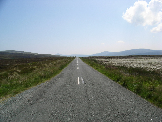
| current | 15:47, 25 March 2014 | | 640 × 480 (132 KB) | Viator (talk | contribs) | The Old Military Road near Glencree. The pointed summit of the Sugarloaf mountain can be seen in the distance to the left of centre. |
File usage
The following page uses this file: