File:Old Philpstoun from under the motorway - Geograph - 1808016.jpg
Jump to navigation
Jump to search

No higher resolution available.
Old_Philpstoun_from_under_the_motorway_-_Geograph_-_1808016.jpg (640 × 480 pixels, file size: 45 KB, MIME type: image/jpeg)
| |||||||||||||||||||||||||
|
Galleries | B8046 | Philpstoun Interchange | ||
File history
Click on a date/time to view the file as it appeared at that time.
| Date/Time | Thumbnail | Dimensions | User | Comment | |
|---|---|---|---|---|---|
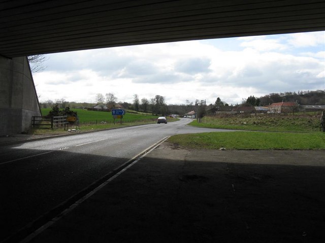
| current | 07:53, 9 June 2016 | | 640 × 480 (45 KB) | Jeni (talk | contribs) | '''Old Philpstoun from under the motorway''' Junction 2 of the M9 - the right turn is the start of the west-bound slip road. |
File usage
The following 2 pages use this file: