File:Old bridge over the Tyne (C) kim traynor - Geograph - 3601601.jpg
Jump to navigation
Jump to search

No higher resolution available.
Old_bridge_over_the_Tyne_(C)_kim_traynor_-_Geograph_-_3601601.jpg (640 × 480 pixels, file size: 92 KB, MIME type: image/jpeg)
| |||||||||||||||||||||||||
|
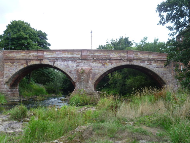
Galleries | B1377 | East Lothian Saltire Trail | East Linton Bridge | ||
File history
Click on a date/time to view the file as it appeared at that time.
| Date/Time | Thumbnail | Dimensions | User | Comment | |
|---|---|---|---|---|---|
| current | 16:08, 31 October 2014 | | 640 × 480 (92 KB) | Jeni (talk | contribs) | '''Old bridge over the Tyne (C) kim traynor '''<br/>Seen from the Linn Rocks on the River Tyne. |
File usage
The following 5 pages use this file:
_kim_traynor_-_Geograph_-_3601601.jpg&oldid=459187)