File:Old cottages at Bearsted (C) Robert Edwards - Geograph - 1356785.jpg
Jump to navigation
Jump to search

No higher resolution available.
Old_cottages_at_Bearsted_(C)_Robert_Edwards_-_Geograph_-_1356785.jpg (640 × 469 pixels, file size: 81 KB, MIME type: image/jpeg)
| |||||||||||||||||||||||||
|
Galleries | A2011 (Maidstone) | ||
File history
Click on a date/time to view the file as it appeared at that time.
| Date/Time | Thumbnail | Dimensions | User | Comment | |
|---|---|---|---|---|---|
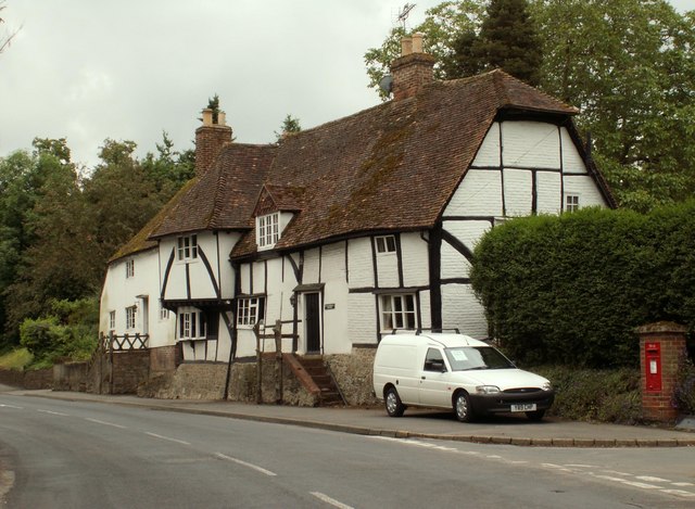
| current | 15:55, 22 June 2014 | | 640 × 469 (81 KB) | Vlad (talk | contribs) | '''Old cottages at Bearsted (C) Robert Edwards '''<br/>The main road here is called Roundwell and the turning just off to the right is called Sutton Street. |
File usage
The following 2 pages use this file:
_Robert_Edwards_-_Geograph_-_1356785.jpg&oldid=379029)