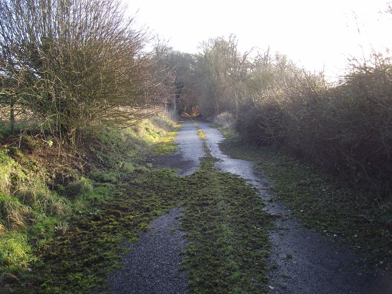
Looking back down the hill on what was the old A350 near East Knoyle. The newer route is to the right and that forms part of the East Knoyle bypass opened around 1987..
Looking back down the hill on what was the old A350 near East Knoyle. The newer route is to the right and that forms part of the East Knoyle bypass opened around 1987..
File usage
There are no pages that use this file.
Metadata
This file contains additional information, probably added from the digital camera or scanner used to create or digitise it.
If the file has been modified from its original state, some details may not fully reflect the modified file.
